
Leveling Survey
Precise differential leveling for elevation control, benchmarks and vertical accuracy across construction and infrastructure projects.
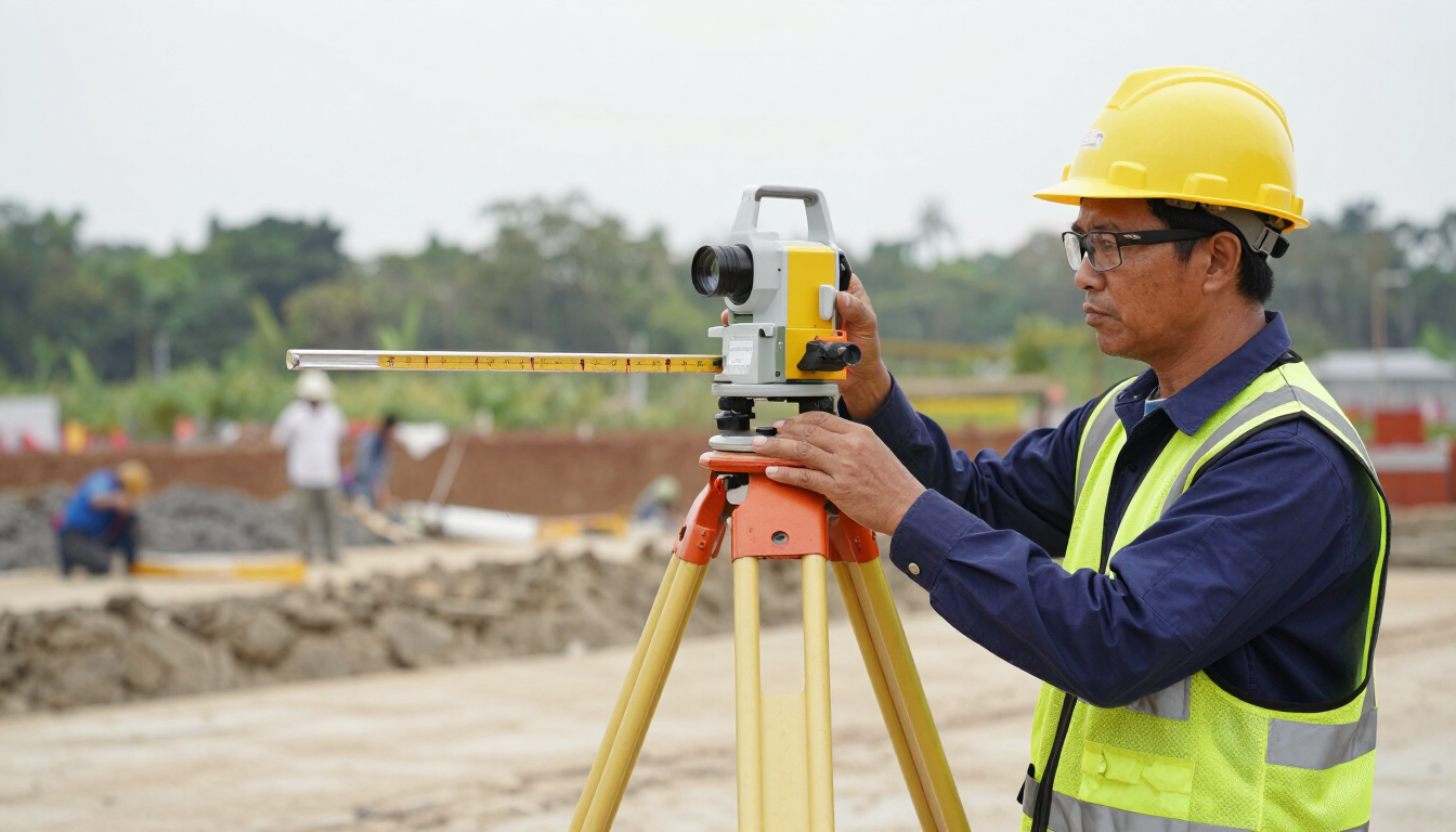
Differential leveling establishes precise height differences between points using an optical or digital level and graduated staff, providing the vertical control and benchmarks that construction, drainage and infrastructure require.
Overview
Leveling survey is the discipline that gives a project its accurate vertical reference. GLONAS performs differential leveling with optical and digital levels and graduated staffs to establish benchmarks, transfer elevations and verify vertical accuracy across a site. Unlike GNSS heights — which are less reliable in the vertical component — precise leveling delivers the millimetre-level height differences that building construction, road and drainage gradients, earthwork and monitoring demand. We run closed and open traverses, close the loops to check accuracy, and tie the results to the project vertical datum. The output is a stable, consistent height framework that every subsequent setting-out, earthwork and as-built measurement relies on.
Scope of Services
- Benchmark establishment and elevation transfer
- Differential leveling for vertical control
- Road and drainage gradient setting
- Earthwork and foundation level verification
- Monitoring and settlement measurement
- Closed-loop accuracy checks
Key Benefits
- Millimetre vertical accuracy
- Stable benchmark framework
- Reliable where GNSS heights are weak
- Closed-loop quality checks
Applications
- Building and foundation levels
- Road and drainage gradients
- Earthwork verification
- Settlement monitoring
Industries
- Construction
- Infrastructure
- Property
- Government
- Industrial
Methodology
Set up the level between points, read foresight and backsight staff readings, compute height differences, close loops and adjust, and deliver a benchmark and elevation schedule tied to the project datum.
Equipment / Technology
Optical/digital level, graduated staff, tripod, benchmark monuments.
Deliverables
Technical Specifications
Method: differential leveling | Accuracy: ±1-3 mm per km | Datum: project vertical datum
Workflow / Process
1. Benchmark planning
2. Setup & staff readings
3. Height difference computation
4. Loop closure & adjustment
5. Benchmark & report delivery
FAQ
Q: Why level instead of GNSS heights?
A: Precise leveling gives millimetre vertical accuracy that GNSS heights cannot reliably match.
Request a leveling survey
Tell us the benchmarks and vertical accuracy needed for a leveling plan.
Start a Project